
Stand Count - How to Capture and Import Imagery
How to Capture Stand Count Imagery
When to Fly
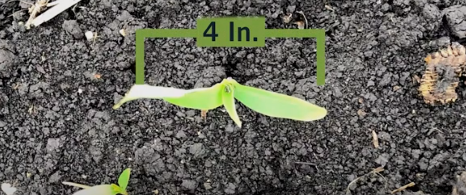
 Let FieldAgent track when to fly a field. With FieldAgent Notifications, you'll be notified of the best time to fly each field for stand count. NOTE: Planting activities are required to receive these notifications.
What Drone and Sensor
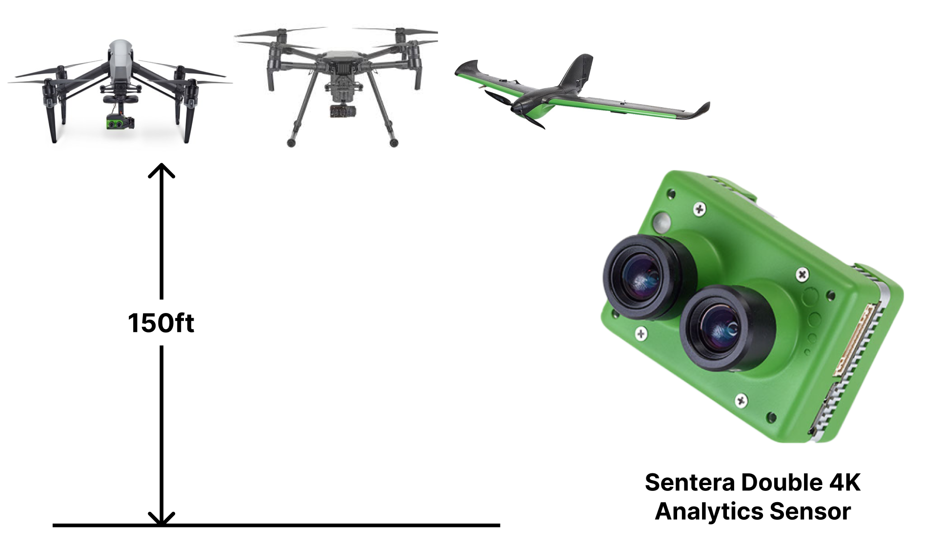
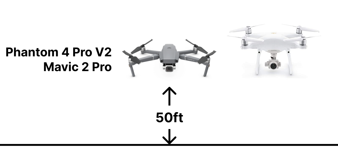
Flight Settings
Select the Stand Count Preset in either Fly PHX (for PHX) or FieldAgent on mobile (for DJI Drones).
FieldAgent mobile defaults to an overlap of -300%. This will produce ~1 stand count per acre. If you'd like more or less, adjust the overlap higher (more frequent Stand Counts) or lower (less Stand Counts)
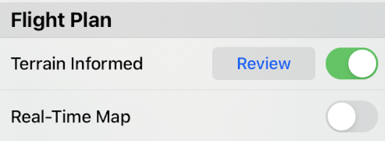
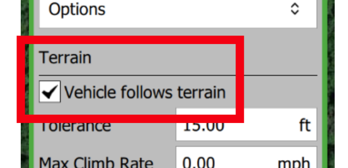
Non-Flat Terrain
Obstacles
 You are responsible for planning and executing safe flights. Always check the flight area for trees and other obstacles. During flight, be prepared to take over at any time.
WARNING: Concave flight boundaries with surrounding trees at or near the planned altitude should be replanned as line missions. Look closely at planned flight routes before pressing launch. Some flight patterns over concave flight boundaries may cut through the boundaries. Cutting through the boundary is the most efficient path, but not always the safest. To solve this problem, clear the flight plan and, in the order the drone can safely fly, select all the locations where you would like to capture an image for stand count. Planning flights in this manner also makes it less likely that images are captured over areas where a stand count may not be possible (ex. Over terracing or irrigation channels). See below for an example of a custom planned line flight that ensures the drone will not cross over trees while capturing photos.
You are responsible for planning and executing safe flights. Always check the flight area for trees and other obstacles. During flight, be prepared to take over at any time.
WARNING: Concave flight boundaries with surrounding trees at or near the planned altitude should be replanned as line missions. Look closely at planned flight routes before pressing launch. Some flight patterns over concave flight boundaries may cut through the boundaries. Cutting through the boundary is the most efficient path, but not always the safest. To solve this problem, clear the flight plan and, in the order the drone can safely fly, select all the locations where you would like to capture an image for stand count. Planning flights in this manner also makes it less likely that images are captured over areas where a stand count may not be possible (ex. Over terracing or irrigation channels). See below for an example of a custom planned line flight that ensures the drone will not cross over trees while capturing photos.